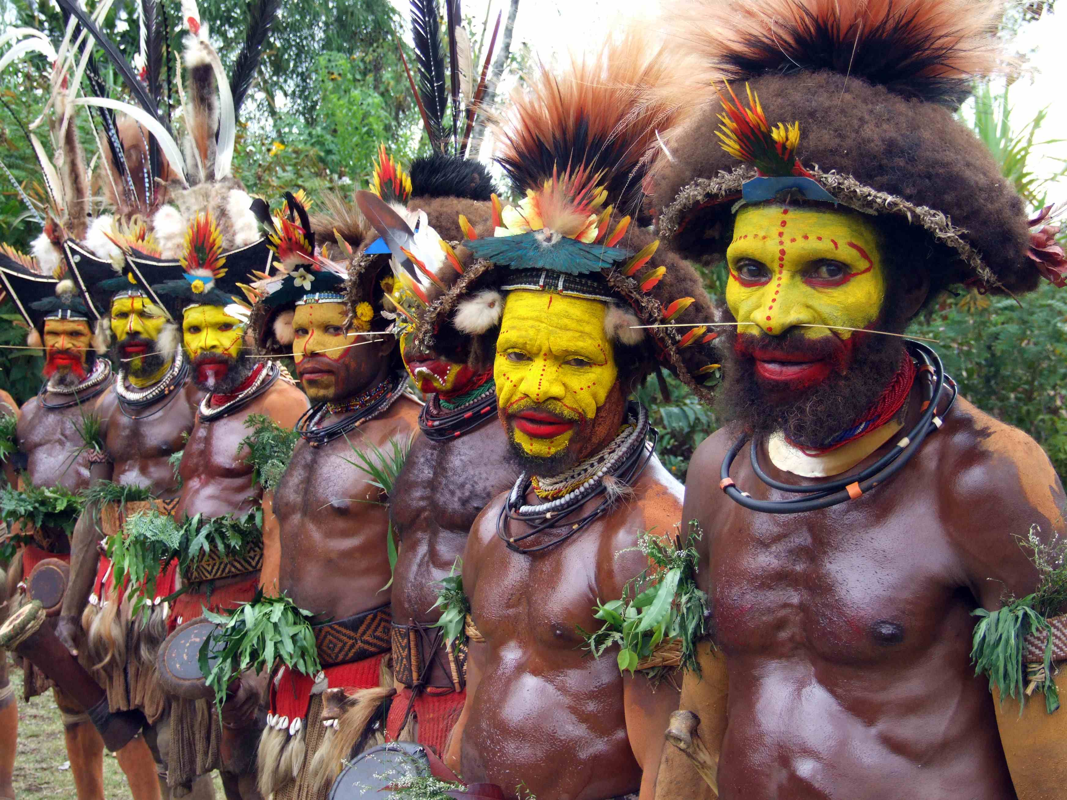
The Huli live in the Tari Basin in the highlands of Papua New Guinea.
The region had little outside influence before the 1940s when plane travel allowed Westerners to bypass the nearly impenetrable coastal swamps and rugged inland mountains.
PNG is a country located in the western half of the world's second largest island, New Guinea.
The island is situated just south of the equator and due north of Australia.
- Its name comes from Spanish explorer Inigo Ortiz de Retes who believed that the people resembled the inhabitants of Guinea in western Africa.
- The island is divided into two nations. The eastern half is known as Irian Jaya, which was annexed by Indonesia in 1963. The western half was granted full independence from Australia in 1975 under the name "Papua New Guinea".
- The Huli people like many other indigenous peoples have learned to adapt and live off of the land for thousands of years. Because of the large variation in geography of the highlands the Huli benefit from all of their surroundings, from mountains to rain forests and even low wetlands
-